Johnny Brown’s Common


View Johnny Brown’s Common in a larger map
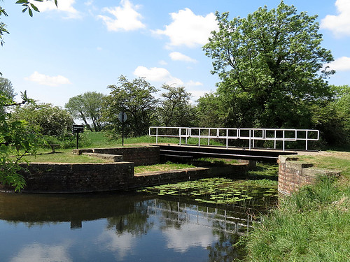
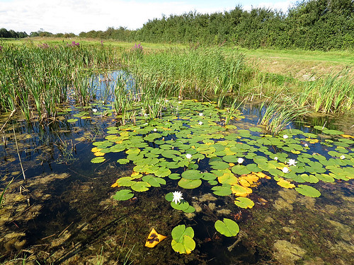
Habitat

Former colliery site with ponds, marsh and scrub.

Access

Park in layby on B6474 between Upton and South Kirby. Walk west along track to reach common.

More Information

OS Map from BING Maps

Species List

Potteric Carr


View Potteric Carr in a larger map

Habitat

Range of open water, marsh and woodland.

Access

Located half a mile from Junction 3 of the M18, just south of Doncaster. Access into the reserve is via Sedum House, the head office of the BTCV.

More Information

OS Map from BING Maps
Potteric Carr – YWT

Species List

Dundale Pond


View Dundale Pond in a larger map

Habitat

Moorland pond and stream.

Access

Take Braygate Lane north from Levisham. Park at the end of the lane and walk down to the pond.

More Information

OS Map from BING Maps

Species List

The Tarn, Goathland


View The Tarn, Goathland in a larger map

Habitat

Acidic bog and standing open water.

Access

Park at the T junction at the western end of Goathland. Follow the footpath up onto the moor in a south-westerly direction.

More Information

OS Map from BING Maps

Species List

Tranmire Bog


View Tranmire Bog in a larger map

Habitat

Bog.

Access

Roadside bog on Wheeldale Moor at SE803970

More Information

OS Map from BING Maps

Species List

Fen Bog


View Fen Bog in a larger map

Habitat

Valley mire.

Access

The reserve is situated to the west of the A169 Pickering-Whitby road, about ten miles north of Pickering and three miles south of Goathland.

More Information

OS Map from BING Maps
Fen Bog – YWT

Species List

Skipwith Common


View Skipwith Common in a larger map

Habitat

Dry and wet heathland, mire bogs.

Access

From the west off the A19 along King Rudding Lane, the east from Common Lane in Skipwith.

More Information

OS Map from BING Maps

Species List

Pocklington Canal


View Pocklington Canal in a larger map

Habitat

Slow flowing fresh water of high quality with plenty of floating and emergent vegetation.

Access

Access is possible from a number of locations along the canal.

More Information

OS Map from BING Maps

Species List

Pocklington Canal, Bielby
Pocklington Canal


North Cave Wetlands

Habitat

Former site of sand and gravel extraction turned back to nature. A Yorkshire Wildlife Trust Site – The site is still being developed, primarily for birds. A series of five ponds have been created for dragonflies along the northern path of the reserve.

Access

Leave the M62 at junction 38. Reserve is signposted from North Cave village. Reserve is also signposted from the A1079 at Market Weighton.

More Information

Market Weighton Canal Trail
OS Map from BING Maps
North Cave Wetlands
North Cave Wetlands -YWT

Species List

Lilly Pond
Lilly Pond


Filey Dams


View Filey Dams in a larger map

Habitat

A Yorkshire Wildlife Trust site consisting of fresh marsh.

Access

Accessed via Wharfedale road off the A1039.

More Information

OS Map from BING Maps

Filey Dams – YWT

Species List