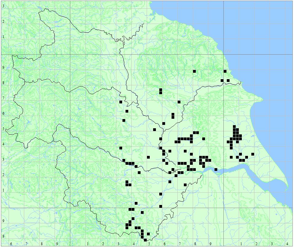
View Eastrington Ponds in a larger map
Habitat
Local Nature Reserve at (SE7829). The main pond is the former site of Eastrington Brick Works. There are several borrow pits foound along either side of the railtrail, the pits the result of building the former Hull and Barnsley Railway.
Access
There is a car park which is accessed off Howden Road, west of Eastrington village.
More Information
OS Map from BING Maps
A plan of the site can be downloaded from East Riding of Yorkshire Council’s website.
Species List
- Emerald Damselfly Lestes sponsa
- Willow Emerald Damselfly Chalcolestes viridis
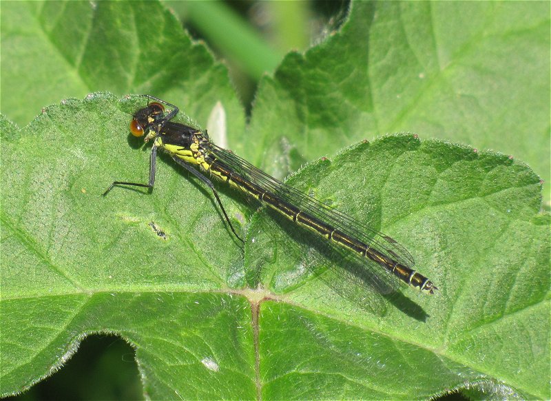
- Large Red Damselfly Pyrrhosoma nymphula
- Red-eyed Damselfly Erythromma najas
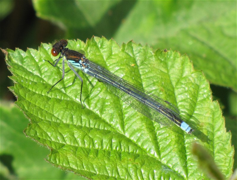
- Blue-tailed Damselfly Ischnura elegans
- Azure Damselfly Coenagrion puella
- Common Blue Damselfly Enallagma cyathigerum
- Migrant Hawker Aeshna mixta
- Southern Hawker Aeshna cyanea
- Brown Hawker Aeshna grandis
- Emperor Dragonfly Anax imperator
- Four-spotted Chaser Libellula quadrimaculata
- Black-tailed Skimmer Orthetrum cancellatum
- Common Darter Sympetrum striolatum
- Ruddy Darter Sympetrum sanguineum